
Walking a Carteret Street Directory
A street result needs more than a text match. Carteret parcels are best checked through a sequence that moves from the postal address to the municipal tax record, then to the recorded land instrument and map context. Ownership in an assessment or deed record is not proof of present occupancy. The goal is a reproducible address trail, especially where one street name, a mailing ZIP, and a legal parcel description point in slightly different directions.
- Confirm the address as a Carteret municipal location, then search the assessment form by Location. Save the returned block, lot, and qualifier.
- Use that block and lot in the Carteret assessment search and compare the result with the current property card date.
- Search the Middlesex County land-record browser by lot/block, party, town, or instrument. Record the instrument number and book/page.
- Map the parcel through NJGIN or Middlesex GIS. Use the map to compare location, not to declare a legal boundary.
- For a dated voter-list question, ask Middlesex Elections for the proper list type and date. For an older household lead, preserve the directory year and Roosevelt or Carteret place label.
Note: Keep the exact query and result date with each Carteret address search so an address trail can be checked later.
Carteret Property Cards by Street
The Carteret revaluation route is the quickest way to turn a street address into municipal parcel terms. Realty Data Systems says the revaluation took effect October 1, 2024 for 2025 tax assessments. Its cards draw on inspections, exterior reviews, permit information, and sales data. That makes a card useful for assessment context, but it is neither a deed nor a survey. Carteret Finance and Tax also identifies assessment figures, property addresses, mortgage-holder information, and some deductions as part of the assessor function.
The Carteret Revaluation Project is the source page for the current revaluation context and property-record-card route.
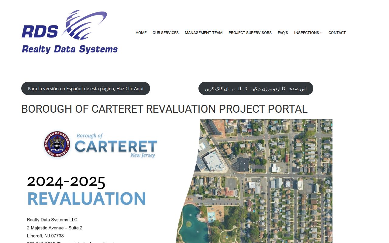
The portal capture shows the Carteret address-search starting point for a property record, where a result must still be read with its assessment date and data disclaimer.
| Assessment search field | How it helps with a Carteret address |
|---|---|
| Location | Starts an address-based parcel search. |
| Owner Name | Offers a party term to compare with a dated land record. |
| Block and Lot | Connect the assessment result with tax maps and clerk searches. |
| Qualifier | Separates a qualifying parcel from the base lot where applicable. |
| Search and output selectors | Set the database, county, district, search format, output format, and items shown before criteria are entered. |
The capture did not expose every dropdown option or a sample record. Check the live form before relying on a particular output option. For a Carteret address search, the important handoff is the block, lot, and qualifier, because those identifiers remain more stable than a person name or a shortened street label. The assessor data also have a time limit. A January snapshot can lag a later ownership change, and the card does not replace the recorded deed or a municipal permit file.
Carteret Finance and Tax reports responsibility for more than 8,000 tax and sewer accounts. That scale explains why an address result should retain the exact district and parcel terms instead of relying on a loose street-name search. Assessment records can be checked against New Jersey Property Tax Transparency annual data, which records location and owner fields subject to redaction, block and lot, land and building assessment, prior taxes, and classification. The annual list is a snapshot, so it should be dated before it is compared with a recent deed.
Note: The 2024 revaluation date and the assessment-card date should be retained when comparing Carteret property records across years.
Carteret Parcel Maps by Street
NJGIN parcel resources provide statewide parcel-layer context and link to a Property Explorer that can be reached by address, county, municipality, block, and lot. The statewide composite uses county source data and PIN/PAMS references. Middlesex County GIS supplies its own mapping applications and open-data route, while the county clerk supplies the recorded instrument trail. These are complementary layers, not interchangeable proof.
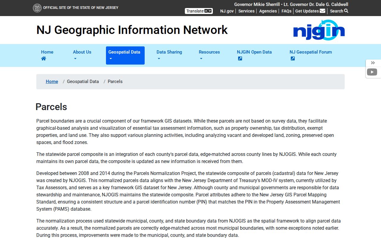
The NJGIN capture is a useful reminder that parcel polygons help orient a Carteret address search, but the state warns that they are not legal boundaries and may not edge-match nearby county data.
A current map can be compared with the Carteret tax map adopted March 28, 2002 under Ordinance 03-44A. Use the dated map, legal description, and assessment identifiers together when an older address no longer resolves cleanly. The map should form a research hypothesis; a tax map or deed description confirms it.
Carteret Street Records by Address
Several offices retain address-keyed Carteret records, each for a different purpose. The following coverage view distinguishes the public trail from conclusions it cannot support. It also shows the fallback route when the desired local record has no public index.
| Address record | Custodian | Useful field or finding | Access route |
|---|---|---|---|
| Assessment card | Carteret assessor / Finance and Tax | Location, owner field, block, lot, qualifier, assessment context | Revaluation portal; Finance and Tax can clarify local assessment records |
| Recorded instrument | Middlesex County Clerk | Instrument number, book/page, document detail, legal description | Land-record browser, then clerk copy or public search room |
| Parcel layer and tax map | NJGIN and Middlesex GIS | Map context, parcel relationship, PIN/PAMS reference | Map viewer, data resources, and county GIS |
| Permit or planning file | Carteret Construction Office, Planning, Zoning, or Clerk | Existing permit, inspection, certificate, or board material | No public index located; use a narrow OPRA request |
| Election list | Middlesex Board of Elections | Date-specific statutory list fields and redactions | Request the list type and date through the elections office |
A parcel identifier is the strongest handoff. It ties the local assessment record to deed searches, tax-map checks, and a more focused municipal request. A voter status result is dated election information, not occupancy proof, and protected or substitute addresses must never be reconstructed.
Carteret Deed Trails by Street
The county land-record browser supports property type, name, town, lot/block, map, instrument, book/page, and parcel-ID modes. Its Party Name instruction uses a last-name and first-name style without commas, and variations matter because county indexing can reflect spelling differences. Results identify an instrument number, book/page, document detail, and image controls. Save the numbers before opening an image so another searcher can repeat the path.
For a prior recorded owner, follow the deed's Being Clause. The County Clerk FAQ describes using that clause to find the preceding seller and prior deed book/page recursively. The browser is the first route. A written or in-person clerk request is the next route for a certified copy, an older book, or an indexing question. The stated certified-copy charge is $2 per page plus $10 certification.
For a current instrument-watch question, Middlesex County has described a Property Alert service that can match a party name or a municipality, block, and lot. It is a fraud-notification route, not a finding that an instrument is valid or that a person is currently at an address. The county's 2026 fraud-prevention notice also directs suspected fraud to local law enforcement or County Consumer Affairs. Keep the alert date, the parcel terms used, and the recorded-instrument result as separate entries in a Carteret address file.
- Parcel
- A mapped tax or assessment unit identified with local block, lot, and sometimes qualifier terms.
- Situs address
- The physical location used for a property record, which can differ from a mailing address.
- Plat
- A recorded map or plan that depicts lots or subdivisions; it is distinct from a GIS display.
- Criss-cross directory
- An older reverse directory arranged by address rather than only by a person's name.
Note: The legacy county notice begins deeds in 1929, while county news reports digitized deeds back to 1923; confirm 1923 through 1928 with the clerk.
Carteret Permit Records by Street
No public Carteret building-permit index was located. That does not mean permit or planning material is absent. The Carteret Construction Office provides building, plumbing, electrical, fire-subcode, inspection, zoning, Planning Board, and Zoning Board contacts. A request works best when it names the street address, block and lot, record category, and date range, then asks which custodian holds the existing file.
Use the Carteret OPRA form for a specified existing record under the New Jersey Open Public Records Act, N.J.S.A. 47:1A-1 et seq. The form allows pickup, mail, on-site inspection, fax, and email choices, subject to the agency's technology and record condition. It generally states a seven-business-day response period. A 50 percent deposit can apply over $25, and an anonymous request can require a full deposit over $5.
For public-project corridors such as the waterfront, a permit file may sit beside planning, easement, contract, grant, or meeting records. Those records explain the parcel history; they do not establish a private household list.
Carteret Street Directory Name History
Older street research needs one extra place-name test. Carteret was formerly Roosevelt and changed names in 1906. The Carteret Historical Committee identifies the Roosevelt News for 1908 through 1922 and Carteret News for 1922 through 1945, with later title variations. A historic street reference may therefore be cataloged under Roosevelt even where a current property system uses Carteret.
Keep the original street spelling, source title, and date in the notes. Search both municipality terms, then compare the house number with the tax map and deed description. The State Library directory guide identifies the reels and location codes for the older directory layer; the modern address chain belongs in property sources. The separate Carteret city directory page focuses on those historical volumes and their catalog details.
Note: A directory or newspaper address is a dated historical lead, not a statement that a person remains at that Carteret location.
Carteret Street Address Geography
ZIP 07008 is the standard Carteret postal code, but a postal service area is not the same thing as a borough boundary. Confirm a street through the Carteret tax district, parcel, municipal address, or county GIS boundary. The Census ZCTA is useful for broad area context, yet it is a generalized statistical geography rather than a legal municipal line or USPS delivery route.
For adjacent parcels, use the assessor and tax map to identify the relationship, then consult the county clerk's instrument index for each parcel. A same-street directory hit or name-only search does not prove adjacency. Look at house number, street side, cross street, map date, and the legal description before describing two parcels as adjacent. Where a parcel does not match the expected street, compare the 2002 tax map, current assessment record, and deed description before assuming a change in street numbering or jurisdiction.
Limits of a Carteret Street Directory
A Carteret street directory can point to property, recorded instruments, dated election sources, and historical references. It cannot safely turn those sources into a complete household roster. Assessment, voter, and license data change. Public records can also withhold protected addresses, signatures, driver-related data, and other personal information. Daniel's Law and the New Jersey Address Confidentiality Program can require redaction or substitute-address treatment.
Lawful use. Use Carteret address records for lawful personal research and verify them with the custodian. New Jersey stalking and harassment laws prohibit conduct intended to cause fear, alarm, or substantial annoyance.
The safest wording stays close to the record: parcel adjacent on the tax map, a person named in a dated instrument, or an official status search available. Do not infer residence, family relationship, age, health, or legal outcome from an ambiguous record.