
Carteret ZIP Code Directory Coverage
Official sources in the research set located one standard ZIP code for Carteret: 07008. The Carteret Post Office is the official postal point used to verify that code, while an individual delivery address still needs its own USPS check. No separate Carteret ZIP, PO-box-only ZIP, unique ZIP, or special-purpose ZIP was found in the source set. That limitation matters because a ZIP code directory should report the confirmed route, not invent extra postal areas.
| ZIP code | Area described | Postal route | Research note |
|---|---|---|---|
| 07008 | Carteret postal area | Carteret Post Office, 212 Pershing Avenue | One standard Carteret ZIP located; verify any individual delivery address with USPS. |
USPS assigns delivery and post-office designations. The borough, county tax district, and a Census ZCTA use different geographic systems. A Carteret ZIP code directory is most useful when it tells the reader which system supplied the result and what that system can, and cannot, establish.
Use 07008 as a postal starting point, not as a substitute for a legal description. The County Clerk's land-record browser can use town, lot/block, map number, instrument number, book/page, or parcel ID after an address has been resolved. NJGIN can add map context through address, county, municipality, block, and lot. Those record keys reach a parcel more precisely than a ZIP and leave a clearer trail when an old mailing label or a neighboring jurisdiction appears in the search.
Note: A ZIP code can confirm a postal route, but the parcel municipality should be checked separately when the legal location matters.
Carteret Postal Service Route
The USPS Carteret Post Office listing identifies the post office at 212 Pershing Avenue, Carteret, NJ 07008-9998, with a local telephone number of 732-541-8397. The captured listing showed retail hours of Monday through Friday 9:00 to 5:00, Saturday 10:00 to 4:00, and Sunday closed. Hours can change, so the live USPS listing is the source to check before a visit. For an address question, USPS remains the route for delivery verification.
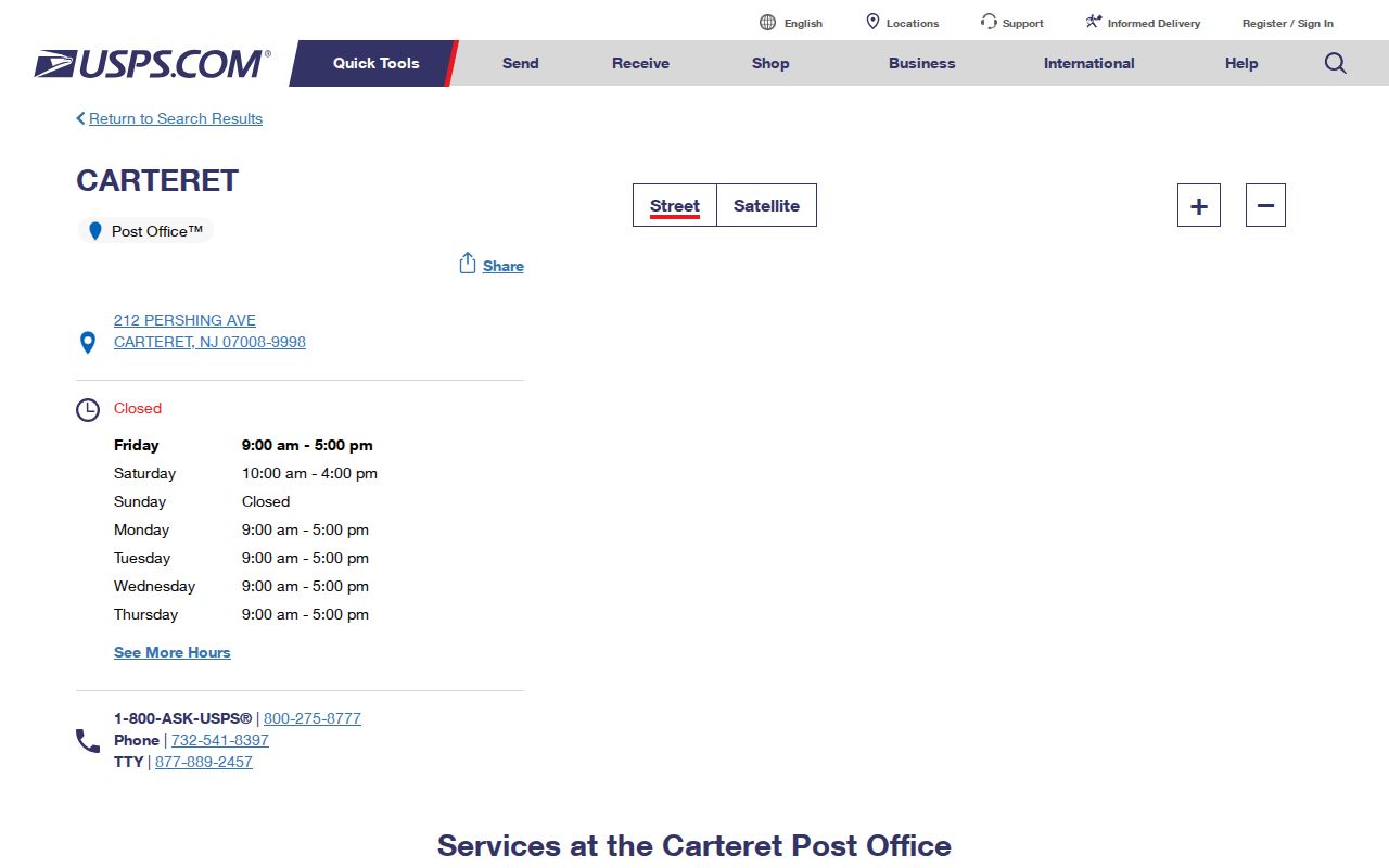
The USPS capture supports the 07008 route used in this Carteret ZIP code directory. It does not convert the post office service area into a borough boundary or a parcel determination.
Keep the full delivery address and the date checked. If the county or municipal record uses a different mailing city, begin with the address, block and lot, and municipal district rather than assuming the postal label decides the jurisdiction.
Carteret ZIP Codes and ZCTAs
The Census uses ZIP Code Tabulation Areas, or ZCTAs, to create generalized statistical areas from Census blocks. Census guidance explains that a ZCTA is not a USPS route and not a municipal limit. ZCTAs can be noncontiguous, institution-specific, or oriented around post-office service patterns. The Census 07008 map and data route is therefore useful for area-level context, but it is not a person-level address source.
Census ZCTA guidance explains the distinction between the Census approximation and the Postal Service's ZIP Code system.
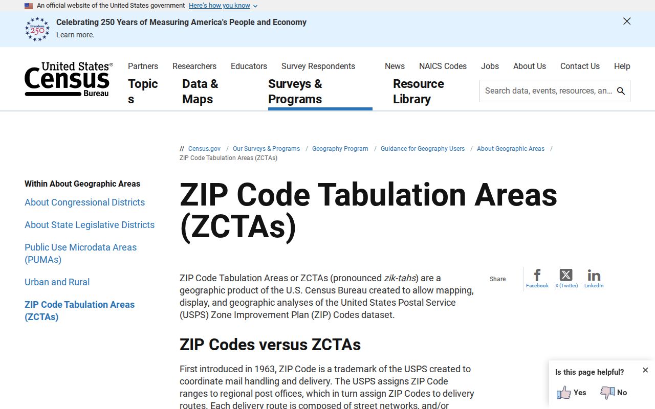
The Census material helps prevent a common Carteret ZIP code directory error: treating ZCTA 07008 as if it drew the borough's legal edge. Pair it with a parcel or municipal layer for a location question.
The Census 07008 map and data route can add area statistics once the geography is labeled correctly. It should not be used to identify a private individual or to replace the official USPS check for a delivery address.
Carteret Parcel Checks by ZIP
Postal geography becomes more useful when it leads to a parcel check. The Carteret assessor form accepts Location, Owner Name, Block, Lot, and Qualifier after database, county, district, search-format, output-format, and list-size choices. It does not document a ZIP-code search field in the captured form. That is important: do not claim that the property search can sweep all 07008 addresses as a ZIP filter when the documented fields do not show that option.
| Carteret assessment field | ZIP research role |
|---|---|
| Location | Tests the USPS-verified address in the municipal assessment system. |
| Block and Lot | Supplies the durable parcel identifiers for map and deed checks. |
| Qualifier | Distinguishes a qualifying parcel where the tax record uses one. |
| Owner Name | Provides a dated comparison term, not proof of present residence. |
| Year and source date | Separates a current revaluation record from an older annual snapshot. |
The Carteret revaluation was effective October 1, 2024 for 2025 tax assessments. NJ MOD-IV adds annual assessment files from 1989 through the latest available file and allows year, municipality, block/lot, property class, address, exemption status, and property-attribute searches. Some public owner names may be redacted under Daniel's Law. Record the year and source before comparing results.
Note: The documented Carteret assessment fields bridge a verified ZIP address to a parcel; they are not evidence of a ZIP-wide people search.
Finding Carteret Records by ZIP Code
No official Carteret ZIP-wide resident roll was located. The documented approach narrows one address, not a population list. The state voter status check uses name and date-of-birth matching. Middlesex election lists are requested by list type and date and can carry municipality, district, and street organization with statutory redactions. The county GIS route maps parcels, but it does not advertise a person-name owner search.
- Verify the individual delivery address through USPS and preserve the full form of the address.
- Confirm the Carteret municipality, tax district, and parcel through the assessor's Location field or block and lot.
- Map the parcel using NJGIN parcel resources or Middlesex GIS, treating map lines as context rather than surveys.
- Use the Middlesex land-record browser by lot/block or party to locate recorded instruments tied to that parcel.
- For a date-specific election question, request the appropriate statutory list from Middlesex Elections and retain the access limits and redactions.
Once an address is narrowed to a particular road, the Carteret street directory has the fuller address-to-parcel and deed sequence. The ZIP code is a starting geography, not the final record key.
Historic Carteret ZIP Searches
ZIP research does not replace historic place-name research. Carteret was formerly called Roosevelt, and the municipality changed names in 1906. Older newspapers, directories, and property descriptions can use Roosevelt while a modern delivery address uses Carteret and 07008. A search that uses only a current ZIP code may miss the older source entirely.
Preserve the original spelling, street number, source year, and place label. The Carteret Historical Committee identifies Roosevelt News for 1908 through 1922 and Carteret News for 1922 through 1945. State Library directory reels also catalog Carteret with nearby places in some years. These are historic context sources, not current address confirmation.
The documented State Library runs include a 1904 Wand's directory, a 1906 Carteret, Chrome and Port Reading title, Richmond volumes for 1912 through 1916 on Perth Amboy Segment IV Reel 18, and 1917 through 1918 on Reel 19. Later Richmond titles do not consistently put Carteret in the title. Search the reel and the source-defined neighboring places instead of expecting the current ZIP code to retrieve every historic result.
Carteret ZIP Code Directory Boundaries
A Carteret ZIP code directory should keep three layers apart: a USPS delivery route, a Census ZCTA, and the borough or parcel jurisdiction. Mailing city and ZIP can differ from the legal municipality near borders. Use a municipal address, county tax district, parcel record, or county GIS boundary when the distinction affects a records request. No official named-neighborhood boundary map was located, so informal labels should not replace the documented geography.
Carteret's Cooke Avenue civic offices, Roosevelt Avenue court, Pershing Avenue postal service, Port District, and Arthur Kill waterfront are useful orientation anchors, but they are not official neighborhood boundaries. The historic Roosevelt name adds another layer. A result under Roosevelt may be relevant to a historic Carteret search even though it will not appear under a modern ZIP query. State the geography being used, such as ZIP 07008, a tax-map section, a street corridor, or a Census geography, and do not present those choices as interchangeable.
- ZIP code
- A Postal Service delivery or post-office designation used to route mail.
- ZIP+4
- Additional digits that refine delivery sorting within a ZIP code; they do not create a new municipality.
- PO-box ZIP
- A postal code assigned for post-office box service rather than a broad delivery area.
- Unique ZIP
- A code used for one organization or institution; none was located for Carteret in the source set.
- Carrier route
- A postal delivery sequence within a ZIP code, not a legal map boundary.
Note: Pair a ZIP result with the parcel municipality or tax district before treating an address as a Carteret record location.
Limits of Carteret ZIP Codes
Use ZIP and address records with care. NJGIN notes that parcel polygons are not legal boundaries and may not edge-match across county lines. Assessment and voter records are dated sources, and protected addresses can be redacted or handled through the New Jersey Address Confidentiality Program and Daniel's Law. A map or ZIP match is never a reason to infer a person's residence, family relationship, age, health, or legal status.
Careful use. Verify Carteret address information with the office that keeps it and use it only for lawful personal research. Do not use records to stalk, harass, intimidate, or harm anyone.
For a local file that is not indexed online, make a specific OPRA request to the right Carteret custodian. State the record type, address, block and lot if known, and a date range. The borough form offers inspection, pickup, mail, fax, and email choices, but the actual delivery method depends on the agency and record condition.
The Carteret form states that a sufficiently specific request generally begins a seven-business-day response period. It also records estimated cost, deposits, status, tracking, and the records provided. Ask for an existing street index, tax-map section, planning file, or meeting material rather than asking an agency to make a new list from a ZIP code.